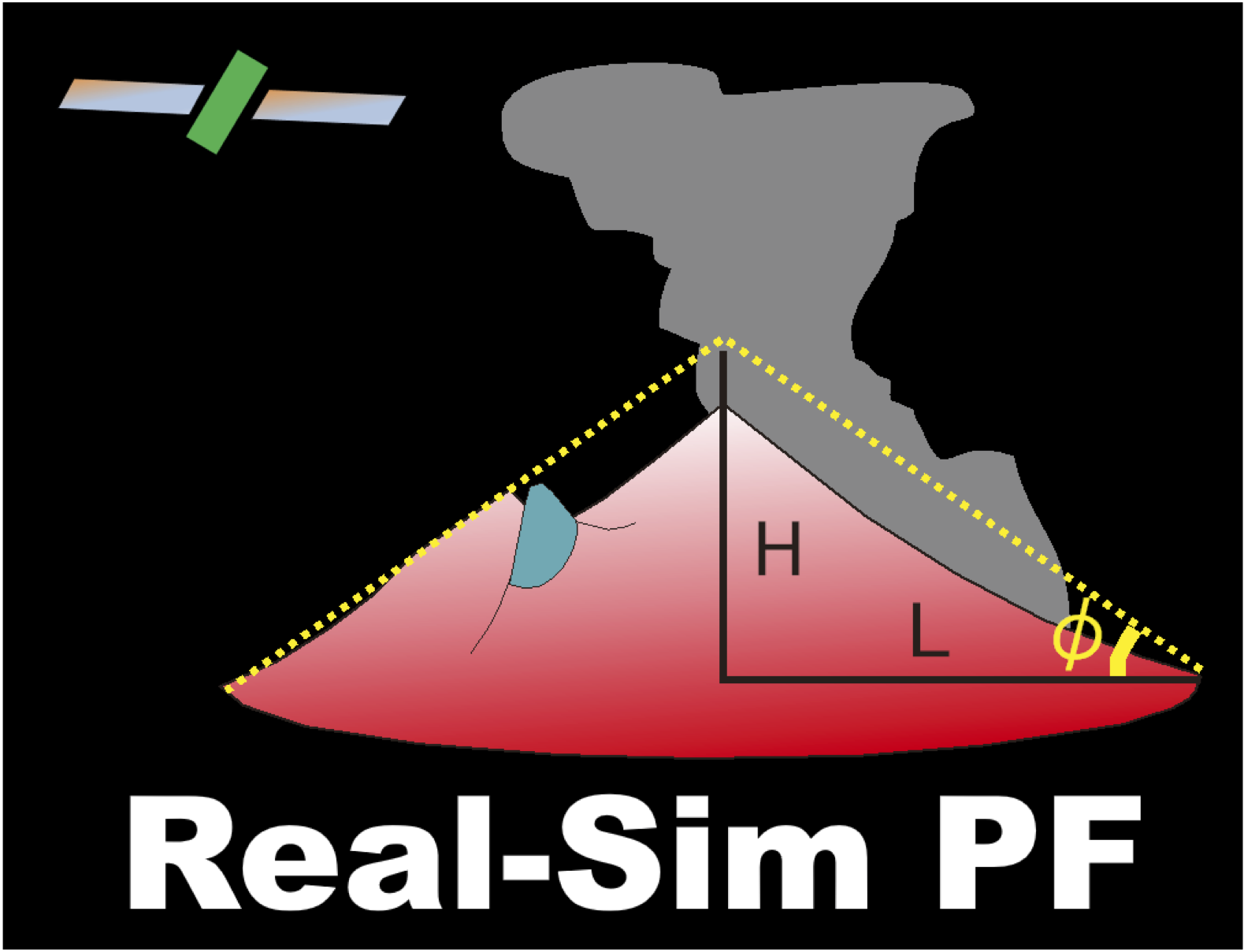
Hotspot monitoring using
nighttime GCOM-C SGLI images
|
Hotspot monitoring usingnighttime GCOM-C SGLI images |
||
| Real Volc Home | nighttime GCOM-C SGLI images |
Indonesia_east |  |
Volcanoes Batur Rinjani Tambora Sangeang Api Paluweh Lewotobi Iliboleng Iliwerung Sirung Banda Api Colo(Una Una) Soputan Lokon-Empung Mahawu Ruang Karangetang Awu Dukono Gamkonora Gamalama |
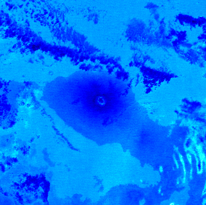
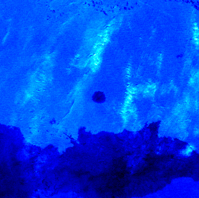
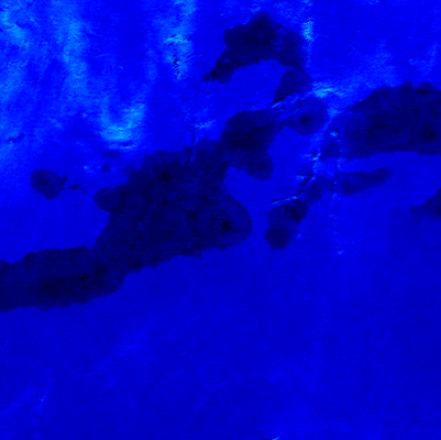
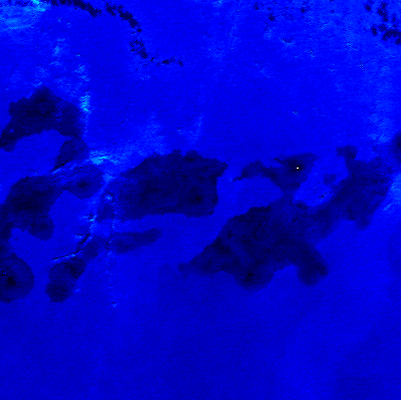
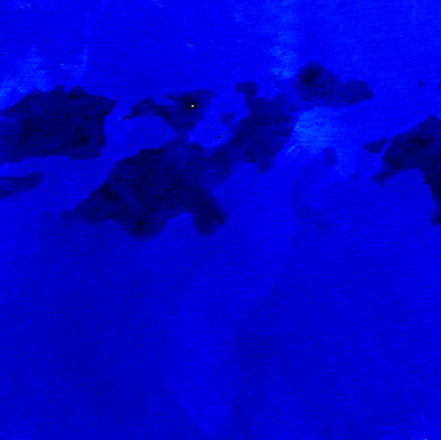
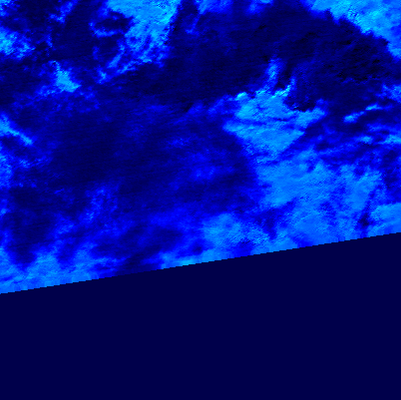
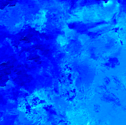
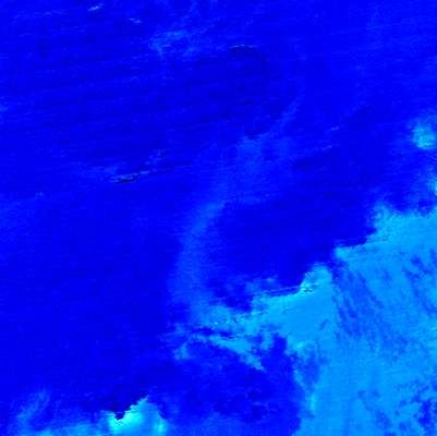
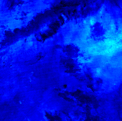
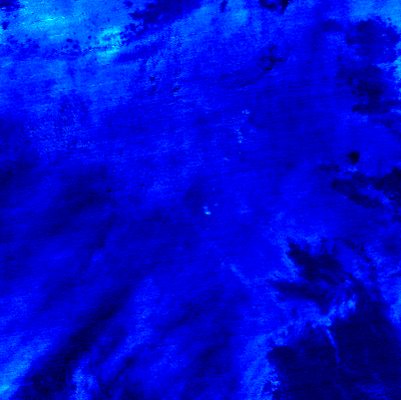
Batur (095) | (Lat.,Long) = (-8.242 , 115.375) Height= _ (m) | Last Update : 2025/07/06-14:29 | ||||
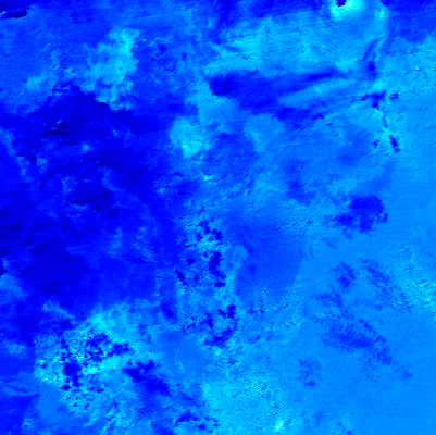
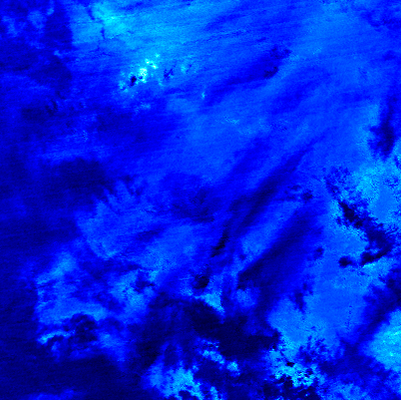
| R1.6Mx show textdata |  | 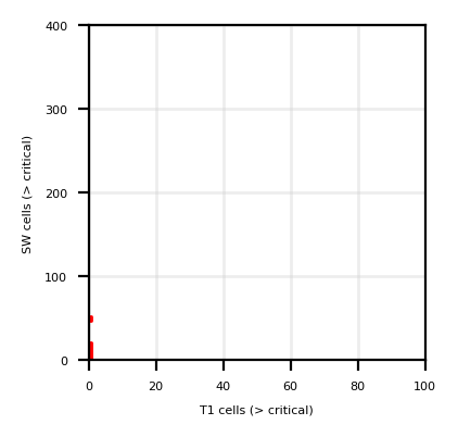 | ||||
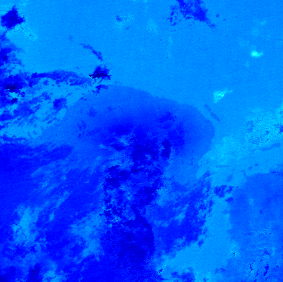
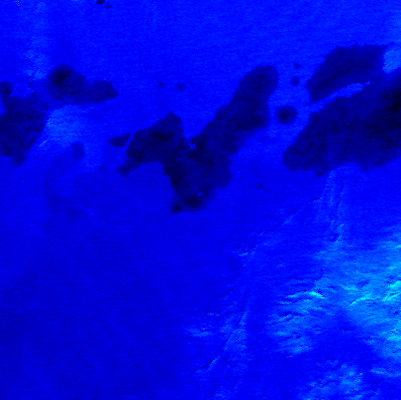
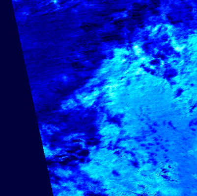
| T11Mx | 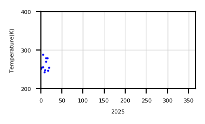 | |||||
| T11Sz,R1.6Sz |  |
| ||||
| Show monthly chart | ||||||
2025/07/06-14:29 |
 |
 |
|
| T01 | SW03 | T01 - T02 | Google Maps |
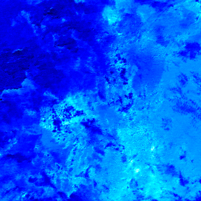
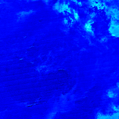
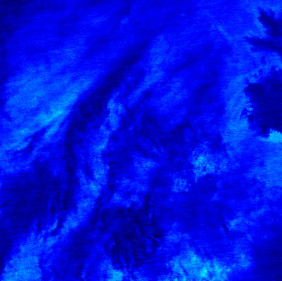
Rinjani (096) | (Lat.,Long) = (-8.42 , 116.47) Height= _ (m) | Last Update : 2025/07/06-14:29 | ||||
| R1.6Mx show textdata |  |  | ||||
| T11Mx | 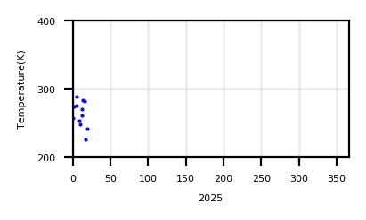 | |||||
| T11Sz,R1.6Sz | 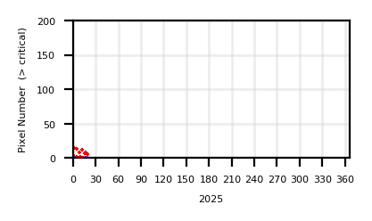 |
| ||||
| Show monthly chart | ||||||
2025/07/06-14:29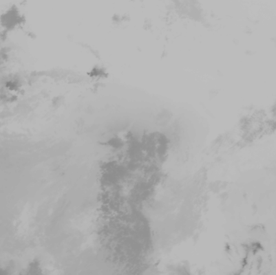 |
 |
 |
|
| T01 | SW03 | T01 - T02 | Google Maps |
Tambora (097) | (Lat.,Long) = (-8.25 , 118) Height= _ (m) | Last Update : 2025/07/06-14:29 | ||||
| R1.6Mx show textdata |  | 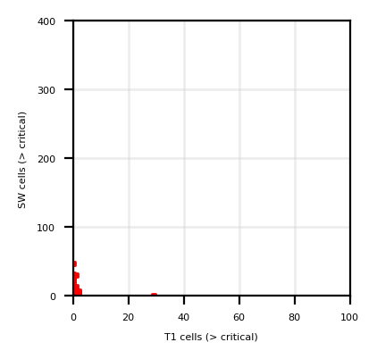 | ||||
| T11Mx | 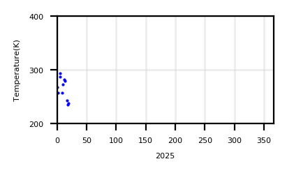 | |||||
| T11Sz,R1.6Sz |  |
| ||||
| Show monthly chart | ||||||
2025/07/06-14:29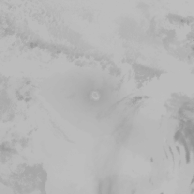 |
 |
 |
|
| T01 | SW03 | T01 - T02 | Google Maps |
Sangeang Api (098) | (Lat.,Long) = (-8.197 , 119.07) Height= _ (m) | Last Update : 2025/07/06-14:29 | ||||
| R1.6Mx show textdata | 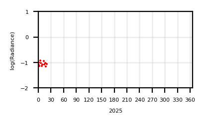 | 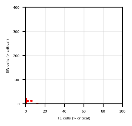 | ||||
| T11Mx | 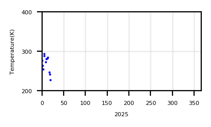 | |||||
| T11Sz,R1.6Sz |  |
| ||||
| Show monthly chart | ||||||
2025/07/06-14:29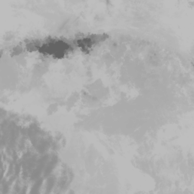 |
 |
 |
|
| T01 | SW03 | T01 - T02 | Google Maps |
Paluweh (099) | (Lat.,Long) = (-8.32 , 121.708) Height= _ (m) | Last Update : 2025/07/06-14:29 | ||||
| R1.6Mx show textdata |  |  | ||||
| T11Mx | 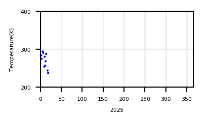 | |||||
| T11Sz,R1.6Sz | 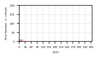 |
| ||||
| Show monthly chart | ||||||
2025/07/06-14:29 |
 |
 |
|
| T01 | SW03 | T01 - T02 | Google Maps |
Lewotobi (100) | (Lat.,Long) = (-8.542 , 122.775) Height= _ (m) | Last Update : 2025/07/06-14:29 | ||||
| R1.6Mx show textdata |  |  | ||||
| T11Mx | 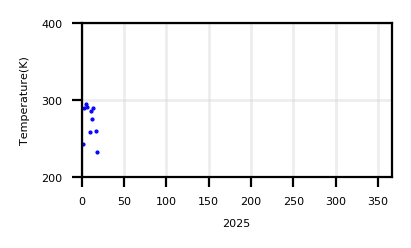 | |||||
| T11Sz,R1.6Sz |  |
| ||||
| Show monthly chart | ||||||
2025/07/06-14:29 |
 |
 |
|
| T01 | SW03 | T01 - T02 | Google Maps |
Iliboleng (101) | (Lat.,Long) = (-8.342 , 123.258) Height= _ (m) | Last Update : 2025/07/06-14:29 | ||||
| R1.6Mx show textdata |  |  | ||||
| T11Mx |  | |||||
| T11Sz,R1.6Sz |  |
| ||||
| Show monthly chart | ||||||
2025/07/06-14:29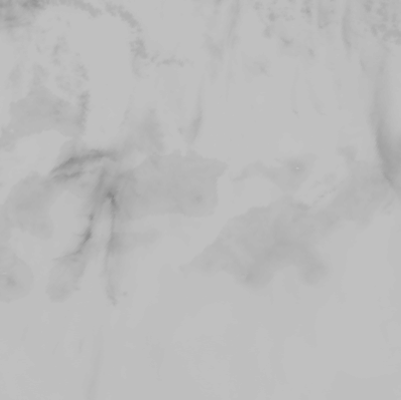 |
 |
 |
|
| T01 | SW03 | T01 - T02 | Google Maps |
Iliwerung (102) | (Lat.,Long) = (-8.53 , 123.57) Height= _ (m) | Last Update : 2025/07/06-14:29 | ||||
| R1.6Mx show textdata |  | 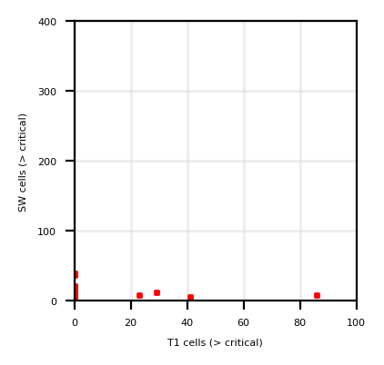 | ||||
| T11Mx | 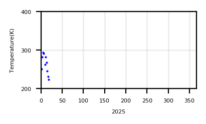 | |||||
| T11Sz,R1.6Sz |  |
| ||||
| Show monthly chart | ||||||
2025/07/06-14:29 |
 |
 |
|
| T01 | SW03 | T01 - T02 | Google Maps |
Sirung (103) | (Lat.,Long) = (-8.508 , 124.13) Height= _ (m) | Last Update : 2025/07/06-14:29 | ||||
| R1.6Mx show textdata |  | 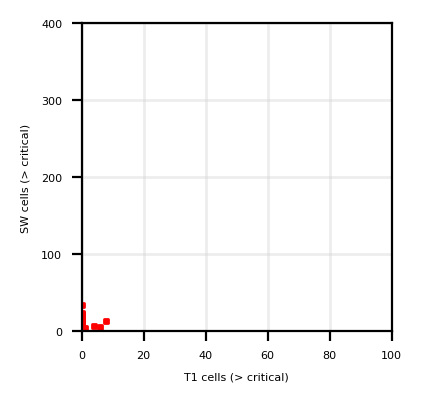 | ||||
| T11Mx | 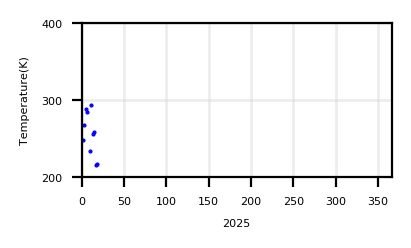 | |||||
| T11Sz,R1.6Sz |  |
| ||||
| Show monthly chart | ||||||
2025/07/06-14:29 |
 |
 |
|
| T01 | SW03 | T01 - T02 | Google Maps |
Banda Api (104) | (Lat.,Long) = (-4.525 , 129.871) Height= _ (m) | Last Update : 2025/07/05-13:15 | ||||
| R1.6Mx show textdata |  | 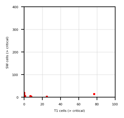 | ||||
| T11Mx |  | |||||
| T11Sz,R1.6Sz |  |
| ||||
| Show monthly chart | ||||||
2025/07/05-13:15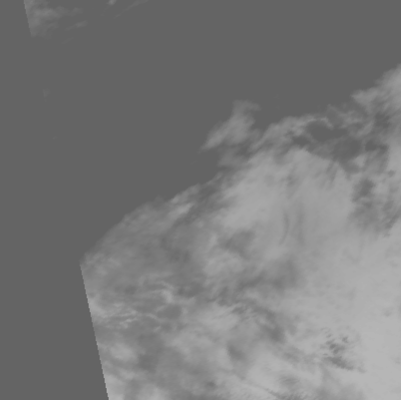 |
 |
 |
|
| T01 | SW03 | T01 - T02 | Google Maps |
Colo(Una Una) (105) | (Lat.,Long) = (-0.17 , 121.608) Height= _ (m) | Last Update : 2025/07/06-14:34 | ||||
| R1.6Mx show textdata |  | 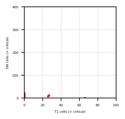 | ||||
| T11Mx | 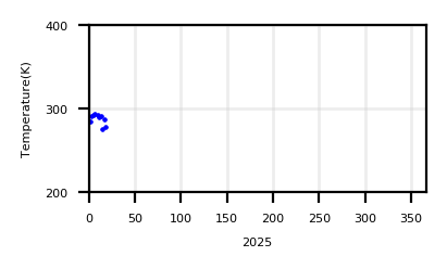 | |||||
| T11Sz,R1.6Sz |  |
| ||||
| Show monthly chart | ||||||
2025/07/06-14:34 |
 |
 |
|
| T01 | SW03 | T01 - T02 | Google Maps |
Soputan (106) | (Lat.,Long) = (1.108 , 124.73) Height= _ (m) | Last Update : 2025/07/04-13:46 | ||||
| R1.6Mx show textdata |  |  | ||||
| T11Mx | 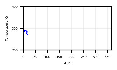 | |||||
| T11Sz,R1.6Sz |  |
| ||||
| Show monthly chart | ||||||
2025/07/04-13:46 |
 |
 |
|
| T01 | SW03 | T01 - T02 | Google Maps |
Lokon-Empung (107) | (Lat.,Long) = (1.358 , 124.792) Height= _ (m) | Last Update : 2025/07/04-13:46 | ||||
| R1.6Mx show textdata |  |  | ||||
| T11Mx |  | |||||
| T11Sz,R1.6Sz |  |
| ||||
| Show monthly chart | ||||||
2025/07/04-13:46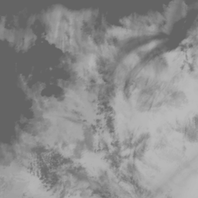 |
 |
 |
|
| T01 | SW03 | T01 - T02 | Google Maps |
Mahawu (108) | (Lat.,Long) = (1.358 , 124.858) Height= _ (m) | Last Update : 2025/07/04-13:46 | ||||
| R1.6Mx show textdata | 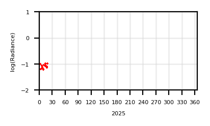 | 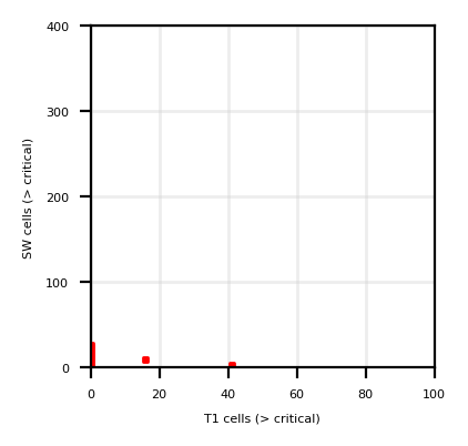 | ||||
| T11Mx | 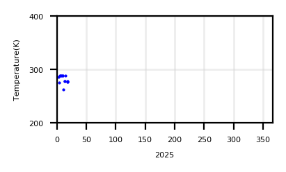 | |||||
| T11Sz,R1.6Sz |  |
| ||||
| Show monthly chart | ||||||
2025/07/04-13:46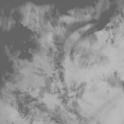 |
 |
 |
|
| T01 | SW03 | T01 - T02 | Google Maps |
Ruang (109) | (Lat.,Long) = (2.3 , 125.37) Height= _ (m) | Last Update : 2025/07/04-13:46 | ||||
| R1.6Mx show textdata | 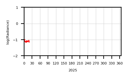 |  | ||||
| T11Mx | 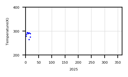 | |||||
| T11Sz,R1.6Sz |  |
| ||||
| Show monthly chart | ||||||
2025/07/04-13:46 |
 |
 |
|
| T01 | SW03 | T01 - T02 | Google Maps |
Karangetang (110) | (Lat.,Long) = (2.78 , 125.4) Height= _ (m) | Last Update : 2025/07/04-13:46 | ||||
| R1.6Mx show textdata |  |  | ||||
| T11Mx | 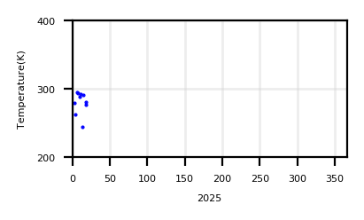 | |||||
| T11Sz,R1.6Sz |  |
| ||||
| Show monthly chart | ||||||
2025/07/04-13:46 |
 |
 |
|
| T01 | SW03 | T01 - T02 | Google Maps |
Awu (111) | (Lat.,Long) = (3.67 , 125.5) Height= _ (m) | Last Update : 2025/07/04-13:46 | ||||
| R1.6Mx show textdata |  |  | ||||
| T11Mx |  | |||||
| T11Sz,R1.6Sz |  |
| ||||
| Show monthly chart | ||||||
2025/07/04-13:46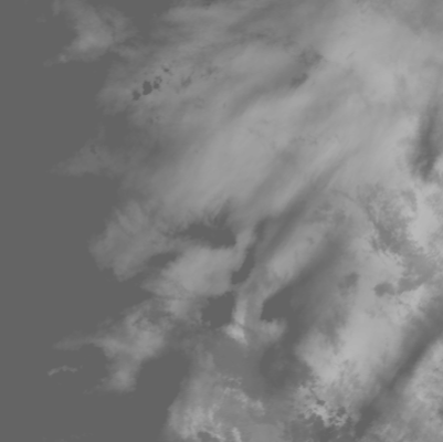 |
 |
 |
|
| T01 | SW03 | T01 - T02 | Google Maps |
Dukono (112) | (Lat.,Long) = (1.7 , 127.88) Height= _ (m) | Last Update : 2025/07/04-13:46 | ||||
| R1.6Mx show textdata | 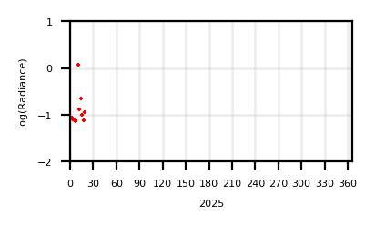 | 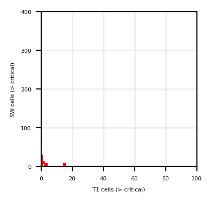 | ||||
| T11Mx | 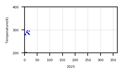 | |||||
| T11Sz,R1.6Sz |  |
| ||||
| Show monthly chart | ||||||
2025/07/04-13:46 |
 |
 |
|
| T01 | SW03 | T01 - T02 | Google Maps |
Gamkonora (113) | (Lat.,Long) = (1.38 , 127.53) Height= _ (m) | Last Update : 2025/07/04-13:46 | ||||
| R1.6Mx show textdata |  |  | ||||
| T11Mx | 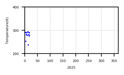 | |||||
| T11Sz,R1.6Sz |  |
| ||||
| Show monthly chart | ||||||
2025/07/04-13:46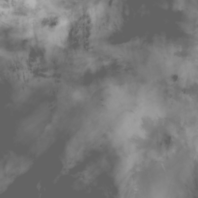 |
 |
 |
|
| T01 | SW03 | T01 - T02 | Google Maps |
Gamalama (114) | (Lat.,Long) = (0.8 , 127.33) Height= _ (m) | Last Update : 2025/07/04-13:46 | ||||
| R1.6Mx show textdata |  | 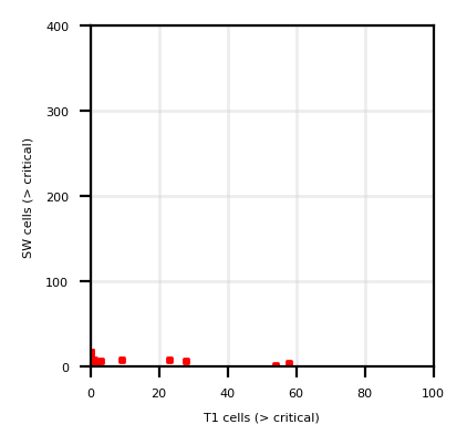 | ||||
| T11Mx | 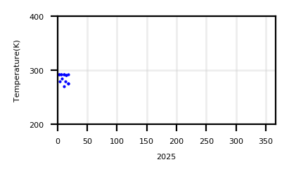 | |||||
| T11Sz,R1.6Sz |  |
| ||||
| Show monthly chart | ||||||
2025/07/04-13:46 |
 |
 |
|
| T01 | SW03 | T01 - T02 | Google Maps |