

Hotspot monitoring using
nighttime GCOM-C SGLI images

 |
 |
Hotspot monitoring usingnighttime GCOM-C SGLI images |
 |
| Real Volc Home | nighttime GCOM-C SGLI images |
Jawa | 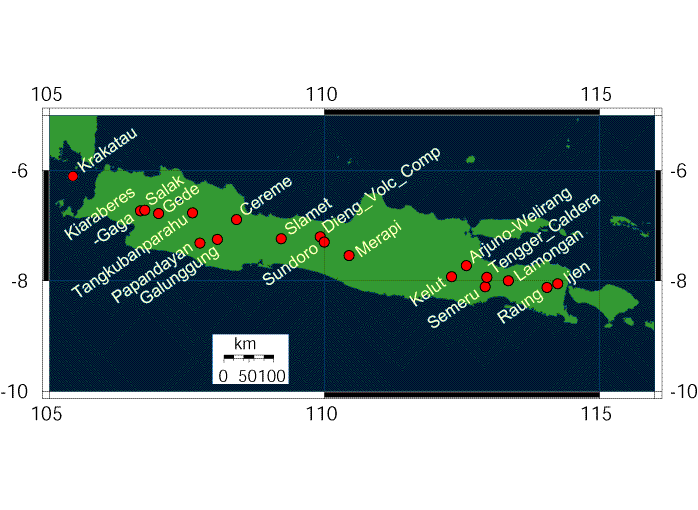 |
Volcanoes Krakatau Kiaraberes-Gaga Salak Gede Tangkubanparahu Papandayan Cereme Galunggung Slamet Dieng_Volc_Comp Sundoro Merapi Kelut Arjuno-Welirang Tengger_Caldera Semeru Lamongan Raung Ijen |
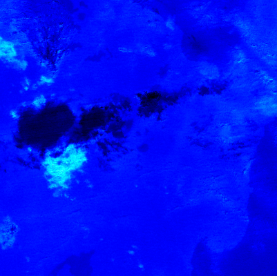
Krakatau (076) | (Lat.,Long) = (-6.102 , 105.423) Height= 813 (m) | Last Update : 2025/06/15-15:25 | ||||
| R1.6Mx show textdata | 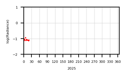 | 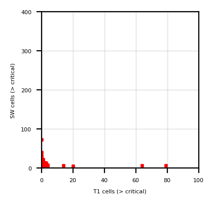 | ||||
| T11Mx | 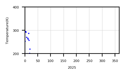 | |||||
| T11Sz,R1.6Sz | 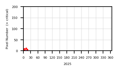 |
| ||||
| Show monthly chart | ||||||
2025/06/15-15:25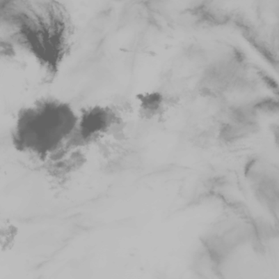 |
 |
 |
|
| T01 | SW03 | T01 - T02 | Google Maps |
Kiaraberes-Gaga (077) | (Lat.,Long) = (-6.73 , 106.65) Height= 1511 (m) | Last Update : 2025/06/15-15:25 | ||||
| R1.6Mx show textdata |  |  | ||||
| T11Mx |  | |||||
| T11Sz,R1.6Sz |  |
| ||||
| Show monthly chart | ||||||
2025/06/15-15:25 |
 |
 |
|
| T01 | SW03 | T01 - T02 | Google Maps |
Salak (078) | (Lat.,Long) = (-6.72 , 106.73) Height= 2211 (m) | Last Update : 2025/06/15-15:25 | ||||
| R1.6Mx show textdata |  |  | ||||
| T11Mx |  | |||||
| T11Sz,R1.6Sz |  |
| ||||
| Show monthly chart | ||||||
2025/06/15-15:25 |
 |
 |
|
| T01 | SW03 | T01 - T02 | Google Maps |
Gede (079) | (Lat.,Long) = (-6.78 , 106.98) Height= 2958 (m) | Last Update : 2025/06/15-15:25 | ||||
| R1.6Mx show textdata |  |  | ||||
| T11Mx |  | |||||
| T11Sz,R1.6Sz |  |
| ||||
| Show monthly chart | ||||||
2025/06/15-15:25 |
 |
 |
|
| T01 | SW03 | T01 - T02 | Google Maps |
Tangkubanparahu (080) | (Lat.,Long) = (-6.77 , 107.6) Height= 2084 (m) | Last Update : 2025/06/15-15:25 | ||||
| R1.6Mx show textdata |  |  | ||||
| T11Mx |  | |||||
| T11Sz,R1.6Sz |  |
| ||||
| Show monthly chart | ||||||
2025/06/15-15:25 |
 |
 |
|
| T01 | SW03 | T01 - T02 | Google Maps |
Papandayan (081) | (Lat.,Long) = (-7.32 , 107.73) Height= 2665 (m) | Last Update : 2025/06/15-15:25 | ||||
| R1.6Mx show textdata |  |  | ||||
| T11Mx |  | |||||
| T11Sz,R1.6Sz |  |
| ||||
| Show monthly chart | ||||||
2025/06/15-15:25 |
 |
 |
|
| T01 | SW03 | T01 - T02 | Google Maps |
Cereme (082) | (Lat.,Long) = (-6.892 , 108.4) Height= 3078 (m) | Last Update : 2025/06/15-15:25 | ||||
| R1.6Mx show textdata |  |  | ||||
| T11Mx |  | |||||
| T11Sz,R1.6Sz |  |
| ||||
| Show monthly chart | ||||||
2025/06/15-15:25 |
 |
 |
|
| T01 | SW03 | T01 - T02 | Google Maps |
Galunggung (083) | (Lat.,Long) = (-7.25 , 108.05) Height= 2168 (m) | Last Update : 2025/06/15-15:25 | ||||
| R1.6Mx show textdata |  |  | ||||
| T11Mx |  | |||||
| T11Sz,R1.6Sz |  |
| ||||
| Show monthly chart | ||||||
2025/06/15-15:25 |
 |
 |
|
| T01 | SW03 | T01 - T02 | Google Maps |
Slamet (084) | (Lat.,Long) = (-7.242 , 109.208) Height= 3432 (m) | Last Update : 2025/06/15-15:25 | ||||
| R1.6Mx show textdata |  |  | ||||
| T11Mx |  | |||||
| T11Sz,R1.6Sz |  |
| ||||
| Show monthly chart | ||||||
2025/06/15-15:25 |
 |
 |
|
| T01 | SW03 | T01 - T02 | Google Maps |
Dieng_Volc_Comp (085) | (Lat.,Long) = (-7.2 , 109.92) Height= 2565 (m) | Last Update : 2025/06/15-15:25 | ||||
| R1.6Mx show textdata |  |  | ||||
| T11Mx |  | |||||
| T11Sz,R1.6Sz |  |
| ||||
| Show monthly chart | ||||||
2025/06/15-15:25 |
 |
 |
|
| T01 | SW03 | T01 - T02 | Google Maps |
Sundoro (086) | (Lat.,Long) = (-7.3 , 109.992) Height= 3151 (m) | Last Update : 2025/06/15-15:25 | ||||
| R1.6Mx show textdata |  |  | ||||
| T11Mx |  | |||||
| T11Sz,R1.6Sz |  |
| ||||
| Show monthly chart | ||||||
2025/06/15-15:25 |
 |
 |
|
| T01 | SW03 | T01 - T02 | Google Maps |
Merapi (087) | (Lat.,Long) = (-7.542 , 110.442) Height= 2911 (m) | Last Update : 2025/06/15-15:25 | ||||
| R1.6Mx show textdata |  |  | ||||
| T11Mx |  | |||||
| T11Sz,R1.6Sz |  |
| ||||
| Show monthly chart | ||||||
2025/06/15-15:25 |
 |
 |
|
| T01 | SW03 | T01 - T02 | Google Maps |
Kelut (088) | (Lat.,Long) = (-7.93 , 112.308) Height= 1731 (m) | Last Update : 2025/06/13-14:38 | ||||
| R1.6Mx show textdata |  |  | ||||
| T11Mx |  | |||||
| T11Sz,R1.6Sz |  |
| ||||
| Show monthly chart | ||||||
2025/06/13-14:38 |
 |
 |
|
| T01 | SW03 | T01 - T02 | Google Maps |
Arjuno-Welirang (089) | (Lat.,Long) = (-7.725 , 112.58) Height= 3339 (m) | Last Update : 2025/06/13-14:38 | ||||
| R1.6Mx show textdata |  |  | ||||
| T11Mx |  | |||||
| T11Sz,R1.6Sz |  |
| ||||
| Show monthly chart | ||||||
2025/06/13-14:38 |
 |
 |
|
| T01 | SW03 | T01 - T02 | Google Maps |
Tengger_Caldera (090) | (Lat.,Long) = (-7.942 , 112.95) Height= 2329 (m) | Last Update : 2025/06/13-14:38 | ||||
| R1.6Mx show textdata |  |  | ||||
| T11Mx |  | |||||
| T11Sz,R1.6Sz |  |
| ||||
| Show monthly chart | ||||||
2025/06/13-14:38 |
 |
 |
|
| T01 | SW03 | T01 - T02 | Google Maps |
Semeru (091) | (Lat.,Long) = (-8.108 , 112.92) Height= 3676 (m) | Last Update : 2025/06/13-14:38 | ||||
| R1.6Mx show textdata |  |  | ||||
| T11Mx |  | |||||
| T11Sz,R1.6Sz |  |
| ||||
| Show monthly chart | ||||||
2025/06/13-14:38 |
 |
 |
|
| T01 | SW03 | T01 - T02 | Google Maps |
Lamongan (092) | (Lat.,Long) = (-8 , 113.342) Height= 1651 (m) | Last Update : 2025/06/13-14:38 | ||||
| R1.6Mx show textdata |  |  | ||||
| T11Mx |  | |||||
| T11Sz,R1.6Sz |  |
| ||||
| Show monthly chart | ||||||
2025/06/13-14:38 |
 |
 |
|
| T01 | SW03 | T01 - T02 | Google Maps |
Raung (093) | (Lat.,Long) = (-8.125 , 114.042) Height= 3332 (m) | Last Update : 2025/06/13-14:38 | ||||
| R1.6Mx show textdata |  |  | ||||
| T11Mx |  | |||||
| T11Sz,R1.6Sz |  |
| ||||
| Show monthly chart | ||||||
2025/06/13-14:38 |
 |
 |
|
| T01 | SW03 | T01 - T02 | Google Maps |
Ijen (094) | (Lat.,Long) = (-8.058 , 114.242) Height= 2386 (m) | Last Update : 2025/06/13-14:38 | ||||
| R1.6Mx show textdata |  |  | ||||
| T11Mx |  | |||||
| T11Sz,R1.6Sz |  |
| ||||
| Show monthly chart | ||||||
2025/06/13-14:38 |
 |
 |
|
| T01 | SW03 | T01 - T02 | Google Maps |