

Hotspot monitoring using
nighttime GCOM-C SGLI images

 |
 |
Hotspot monitoring usingnighttime GCOM-C SGLI images |
 |
| Real Volc Home | nighttime GCOM-C SGLI images |
Bayonnaise Rocks(Myojinsho) (137) | (Lat.,Long) = (31.88 , 139.92) Height= _ (m) | Last Update : 2025/07/06-13:01 | ||||
| R1.6Mx show textdata | 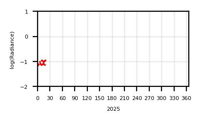 | 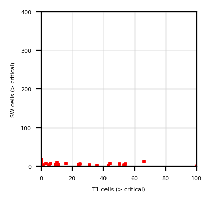 | ||||
| T11Mx | 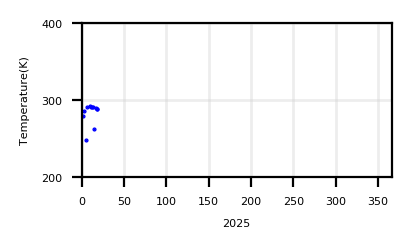 | |||||
| T11Sz,R1.6Sz | 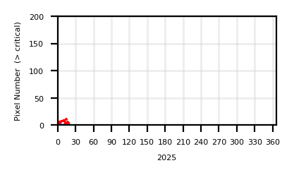 |
| ||||
| Show monthly chart | ||||||
2025/07/06-13:01 |
 |
 |
|
| T01 | SW03 | T01 - T02 | Google Maps |
Sumith Rocks (138) | (Lat.,Long) = (31.436 , 140.054) Height= _ (m) | Last Update : 2025/07/06-13:01 | ||||
| R1.6Mx show textdata |  |  | ||||
| T11Mx |  | |||||
| T11Sz,R1.6Sz |  |
| ||||
| Show monthly chart | ||||||
2025/07/06-13:01 |
 |
 |
|
| T01 | SW03 | T01 - T02 | Google Maps |
Tori-Shima (139) | (Lat.,Long) = (30.48 , 140.306) Height= _ (m) | Last Update : 2025/07/06-13:01 | ||||
| R1.6Mx show textdata |  |  | ||||
| T11Mx |  | |||||
| T11Sz,R1.6Sz |  |
| ||||
| Show monthly chart | ||||||
2025/07/06-13:01 |
 |
 |
|
| T01 | SW03 | T01 - T02 | Google Maps |
Nishino-Shima (140) | (Lat.,Long) = (27.274 , 140.882) Height= _ (m) | Last Update : 2025/07/06-12:57 | ||||
| R1.6Mx show textdata |  |  | ||||
| T11Mx |  | |||||
| T11Sz,R1.6Sz |  |
| ||||
| Show monthly chart | ||||||
2025/07/06-12:57 |
 |
 |
|
| T01 | SW03 | T01 - T02 | Google Maps |
Kaitoku Seamount (141) | (Lat.,Long) = (26.122 , 141.102) Height= _ (m) | Last Update : 2025/07/06-12:57 | ||||
| R1.6Mx show textdata |  |  | ||||
| T11Mx |  | |||||
| T11Sz,R1.6Sz |  |
| ||||
| Show monthly chart | ||||||
2025/07/06-12:57 |
 |
 |
|
| T01 | SW03 | T01 - T02 | Google Maps |
Kita-Iwo-Jima (Funkaasane) (142) | (Lat.,Long) = (25.424 , 141.284) Height= _ (m) | Last Update : 2025/07/06-12:57 | ||||
| R1.6Mx show textdata |  |  | ||||
| T11Mx |  | |||||
| T11Sz,R1.6Sz |  |
| ||||
| Show monthly chart | ||||||
2025/07/06-12:57 |
 |
 |
|
| T01 | SW03 | T01 - T02 | Google Maps |
Iwo-Jima (143) | (Lat.,Long) = (24.754 , 141.29) Height= _ (m) | Last Update : 2025/07/06-12:57 | ||||
| R1.6Mx show textdata |  |  | ||||
| T11Mx |  | |||||
| T11Sz,R1.6Sz |  |
| ||||
| Show monthly chart | ||||||
2025/07/06-12:57 |
 |
 |
|
| T01 | SW03 | T01 - T02 | Google Maps |
Fukutokuokanoba (144) | (Lat.,Long) = (24.28 , 141.485) Height= _ (m) | Last Update : 2025/07/06-12:57 | ||||
| R1.6Mx show textdata |  |  | ||||
| T11Mx |  | |||||
| T11Sz,R1.6Sz |  |
| ||||
| Show monthly chart | ||||||
2025/07/06-12:57 |
 |
 |
|
| T01 | SW03 | T01 - T02 | Google Maps |
Minami-Hiyoshi (145) | (Lat.,Long) = (23.497 , 141.94) Height= _ (m) | Last Update : 2025/07/06-12:57 | ||||
| R1.6Mx show textdata |  |  | ||||
| T11Mx |  | |||||
| T11Sz,R1.6Sz |  |
| ||||
| Show monthly chart | ||||||
2025/07/06-12:57 |
 |
 |
|
| T01 | SW03 | T01 - T02 | Google Maps |
Nikko(Fukujin) (146) | (Lat.,Long) = (23.075 , 142.308) Height= _ (m) | Last Update : 2025/07/06-12:57 | ||||
| R1.6Mx show textdata |  |  | ||||
| T11Mx |  | |||||
| T11Sz,R1.6Sz |  |
| ||||
| Show monthly chart | ||||||
2025/07/06-12:57 |
 |
 |
|
| T01 | SW03 | T01 - T02 | Google Maps |
Farallon De Pajaros (147) | (Lat.,Long) = (20.53 , 144.9) Height= _ (m) | Last Update : 2025/07/04-12:09 | ||||
| R1.6Mx show textdata |  |  | ||||
| T11Mx |  | |||||
| T11Sz,R1.6Sz |  |
| ||||
| Show monthly chart | ||||||
2025/07/04-12:09 |
 |
 |
|
| T01 | SW03 | T01 - T02 | Google Maps |
Pagan (148) | (Lat.,Long) = (18.13 , 145.8) Height= _ (m) | Last Update : 2025/07/04-12:09 | ||||
| R1.6Mx show textdata |  |  | ||||
| T11Mx |  | |||||
| T11Sz,R1.6Sz |  |
| ||||
| Show monthly chart | ||||||
2025/07/04-12:09 |
 |
 |
|
| T01 | SW03 | T01 - T02 | Google Maps |
Anatahan (149) | (Lat.,Long) = (16.347 , 145.697) Height= _ (m) | Last Update : 2025/07/04-12:09 | ||||
| R1.6Mx show textdata |  |  | ||||
| T11Mx |  | |||||
| T11Sz,R1.6Sz |  |
| ||||
| Show monthly chart | ||||||
2025/07/04-12:09 |
 |
 |
|
| T01 | SW03 | T01 - T02 | Google Maps |