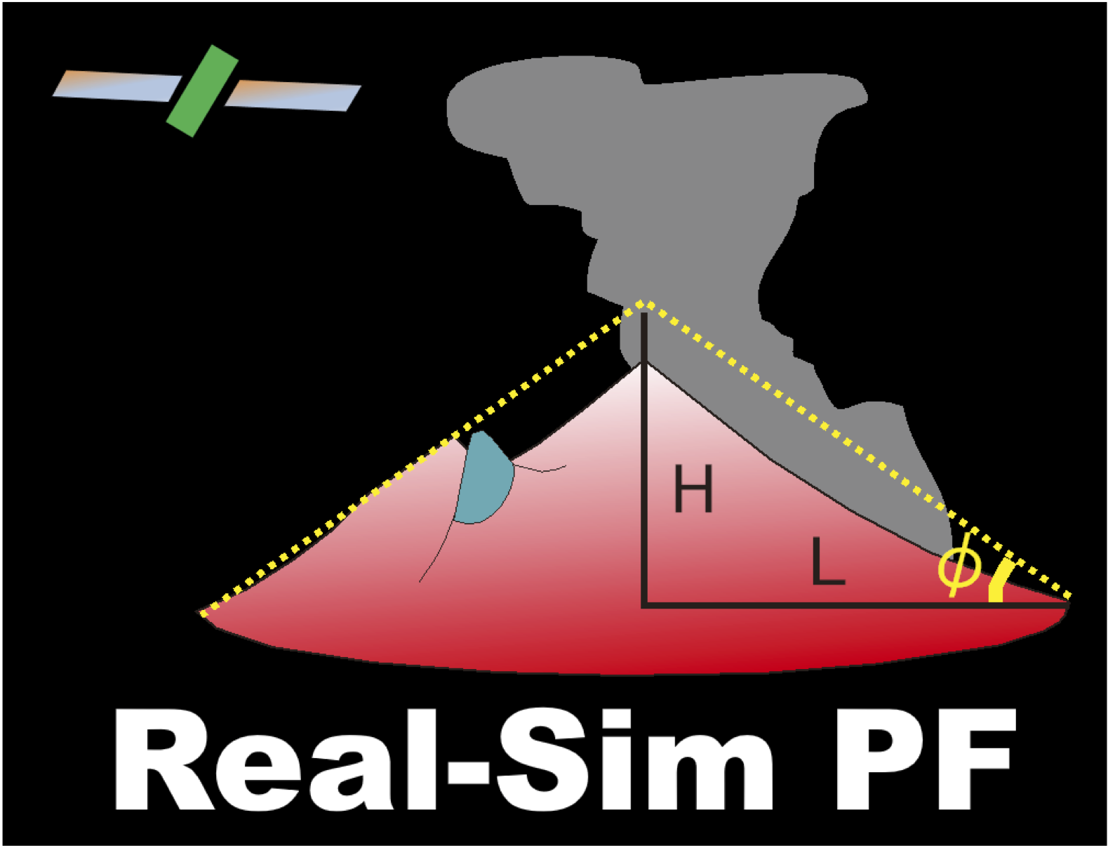
Hotspot monitoring using
nighttime GCOM-C SGLI images
|
Hotspot monitoring usingnighttime GCOM-C SGLI images |
||
| Real Volc Home | nighttime GCOM-C SGLI images |
Honshu_hokkaido, Japan |  |
Volcanoes Shiretoko-Iwozan Me-Akan Tokachi Tarumai Usu-zan Hokkaido-Komaga-take Akita-Yakeyama Iwatesan Akita-Komagatake Chokai Zao Azuma Adatara-yama Nasu Niigata-Yakeyama Kusatsu-Shirane Asama Yakedake Ontake Fuji Izu-Oshima Miyake-Jima Hakone |
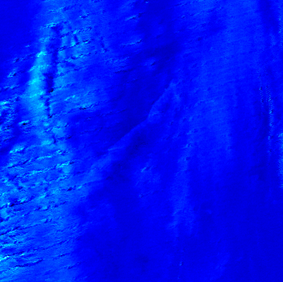
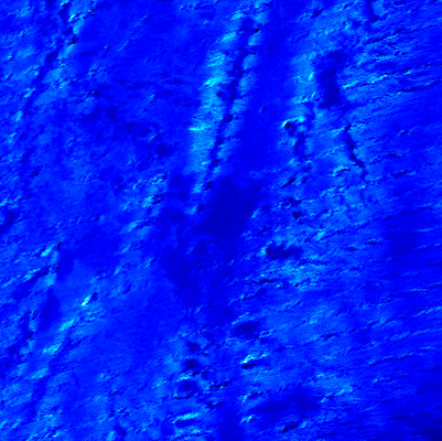
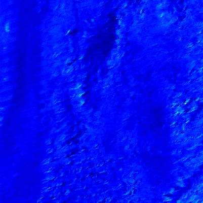
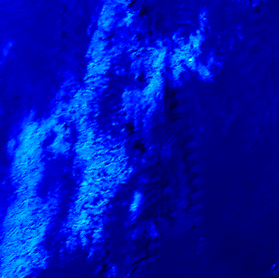
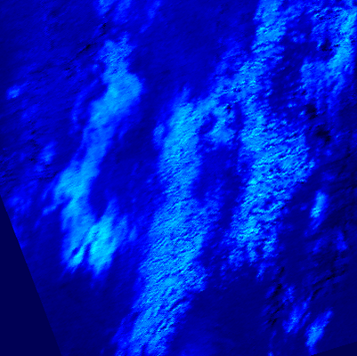
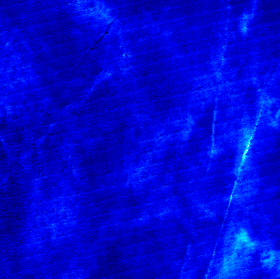
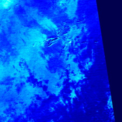
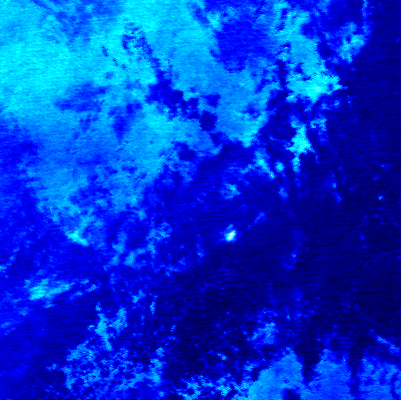
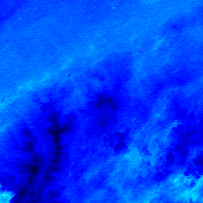
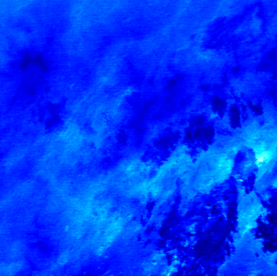
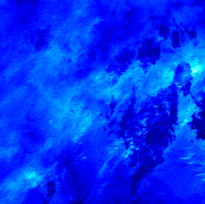
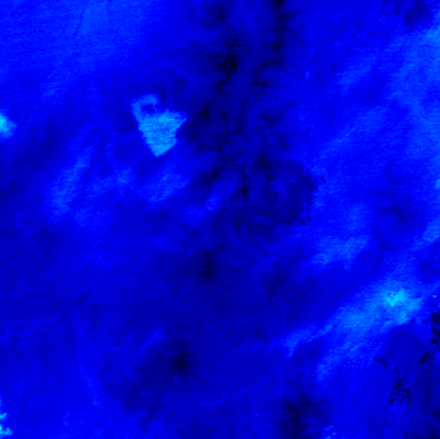
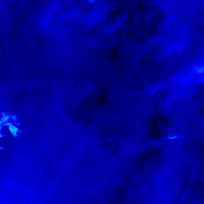
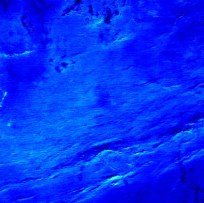
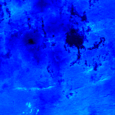
Shiretoko-Iwozan (001) | (Lat.,Long) = (44.13 , 145.17) Height= 1563 (m) | Last Update : 2025/07/05-11:51 | ||||
| R1.6Mx show textdata |  |  | ||||
| T11Mx |  | |||||
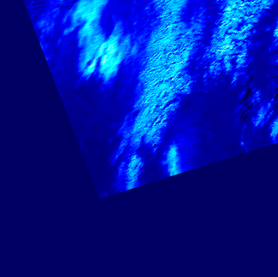
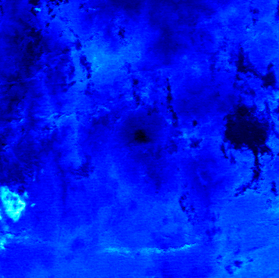
| T11Sz,R1.6Sz |  |
| ||||
| Show monthly chart | ||||||
2025/07/05-11:51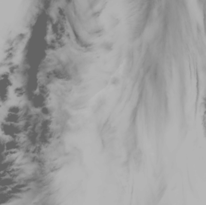 |
 |
 |
|
| T01 | SW03 | T01 - T02 | Google Maps |
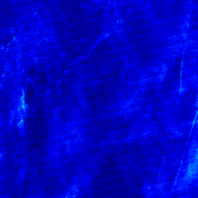
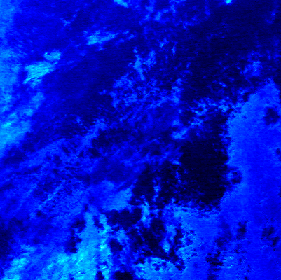
Me-Akan (002) | (Lat.,Long) = (43.38 , 144.02) Height= 1499 (m) | Last Update : 2025/07/05-11:51 | ||||
| R1.6Mx show textdata | 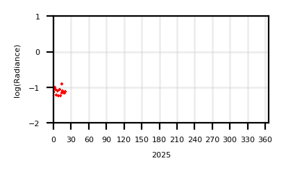 |  | ||||
| T11Mx |  | |||||
| T11Sz,R1.6Sz | 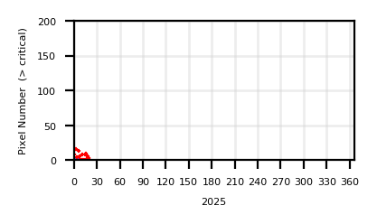 |
| ||||
| Show monthly chart | ||||||
2025/07/05-11:51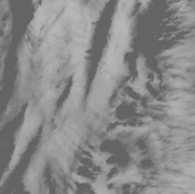 |
 |
 |
|
| T01 | SW03 | T01 - T02 | Google Maps |
Tokachi (003) | (Lat.,Long) = (43.42 , 142.68) Height= 2077 (m) | Last Update : 2025/07/05-11:51 | ||||
| R1.6Mx show textdata |  | 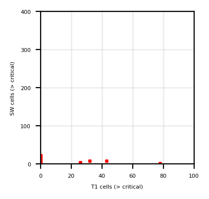 | ||||
| T11Mx | 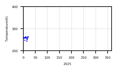 | |||||
| T11Sz,R1.6Sz |  |
| ||||
| Show monthly chart | ||||||
2025/07/05-11:51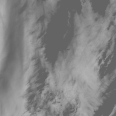 |
 |
 |
|
| T01 | SW03 | T01 - T02 | Google Maps |
Tarumai (004) | (Lat.,Long) = (42.7 , 141.333) Height= 1041 (m) | Last Update : 2025/07/05-11:51 | ||||
| R1.6Mx show textdata |  | 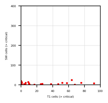 | ||||
| T11Mx |  | |||||
| T11Sz,R1.6Sz |  |
| ||||
| Show monthly chart | ||||||
2025/07/05-11:51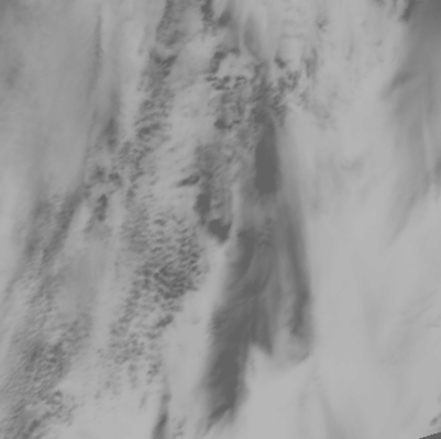 |
 |
 |
|
| T01 | SW03 | T01 - T02 | Google Maps |
Usu-zan (005) | (Lat.,Long) = (42.53 , 140.83) Height= 727 (m) | Last Update : 2025/07/05-11:51 | ||||
| R1.6Mx show textdata |  | 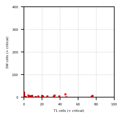 | ||||
| T11Mx |  | |||||
| T11Sz,R1.6Sz |  |
| ||||
| Show monthly chart | ||||||
2025/07/05-11:51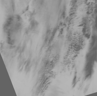 |
 |
 |
|
| T01 | SW03 | T01 - T02 | Google Maps |
Hokkaido-Komaga-take (006) | (Lat.,Long) = (42.07 , 140.68) Height= 1133 (m) | Last Update : 2025/07/05-11:51 | ||||
| R1.6Mx show textdata |  | 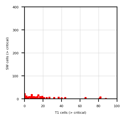 | ||||
| T11Mx | 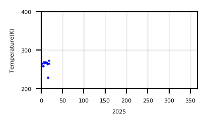 | |||||
| T11Sz,R1.6Sz |  |
| ||||
| Show monthly chart | ||||||
2025/07/05-11:51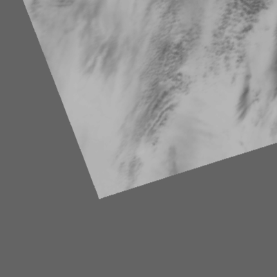 |
 |
 |
|
| T01 | SW03 | T01 - T02 | Google Maps |
Akita-Yakeyama (007) | (Lat.,Long) = (39.97 , 140.77) Height= 1366 (m) | Last Update : 2025/07/04-12:13 | ||||
| R1.6Mx show textdata |  | 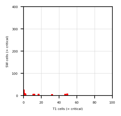 | ||||
| T11Mx |  | |||||
| T11Sz,R1.6Sz | 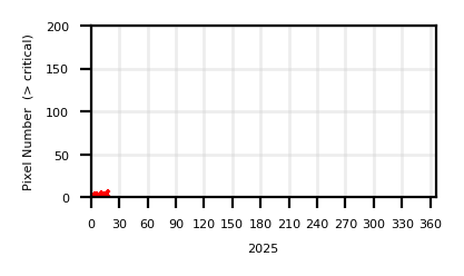 |
| ||||
| Show monthly chart | ||||||
2025/07/04-12:13 |
 |
 |
|
| T01 | SW03 | T01 - T02 | Google Maps |
Iwatesan (008) | (Lat.,Long) = (39.85 , 141) Height= 2038 (m) | Last Update : 2025/07/04-12:13 | ||||
| R1.6Mx show textdata |  | 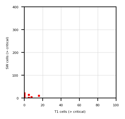 | ||||
| T11Mx |  | |||||
| T11Sz,R1.6Sz |  |
| ||||
| Show monthly chart | ||||||
2025/07/04-12:13 |
 |
 |
|
| T01 | SW03 | T01 - T02 | Google Maps |
Akita-Komagatake (009) | (Lat.,Long) = (39.75 , 140.8) Height= 1637 (m) | Last Update : 2025/07/04-12:13 | ||||
| R1.6Mx show textdata |  | 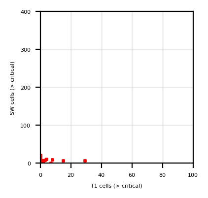 | ||||
| T11Mx | 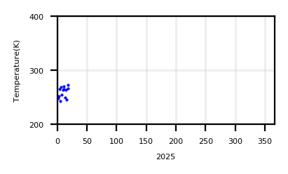 | |||||
| T11Sz,R1.6Sz |  |
| ||||
| Show monthly chart | ||||||
2025/07/04-12:13 |
 |
 |
|
| T01 | SW03 | T01 - T02 | Google Maps |
Chokai (010) | (Lat.,Long) = (39.08 , 140.03) Height= 2236 (m) | Last Update : 2025/07/06-13:01 | ||||
| R1.6Mx show textdata |  | 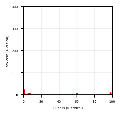 | ||||
| T11Mx |  | |||||
| T11Sz,R1.6Sz |  |
| ||||
| Show monthly chart | ||||||
2025/07/06-13:01 |
 |
 |
|
| T01 | SW03 | T01 - T02 | Google Maps |
Zao (011) | (Lat.,Long) = (38.15 , 140.45) Height= 1817 (m) | Last Update : 2025/07/06-13:01 | ||||
| R1.6Mx show textdata |  | 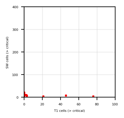 | ||||
| T11Mx |  | |||||
| T11Sz,R1.6Sz |  |
| ||||
| Show monthly chart | ||||||
2025/07/06-13:01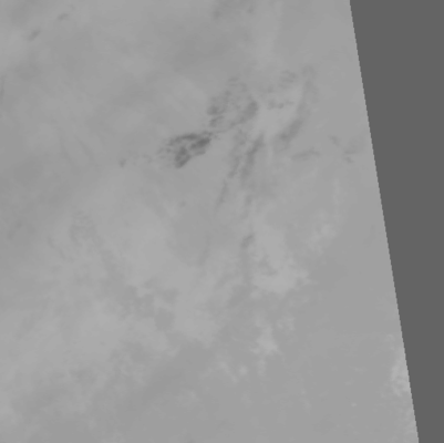 |
 |
 |
|
| T01 | SW03 | T01 - T02 | Google Maps |
Azuma (012) | (Lat.,Long) = (37.73 , 140.25) Height= 2035 (m) | Last Update : 2025/07/06-13:01 | ||||
| R1.6Mx show textdata | 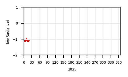 | 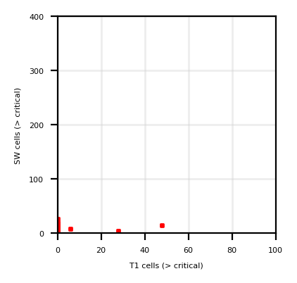 | ||||
| T11Mx |  | |||||
| T11Sz,R1.6Sz |  |
| ||||
| Show monthly chart | ||||||
2025/07/06-13:01 |
 |
 |
|
| T01 | SW03 | T01 - T02 | Google Maps |
Adatara-yama (013) | (Lat.,Long) = (37.62 , 140.28) Height= 1709 (m) | Last Update : 2025/07/06-13:01 | ||||
| R1.6Mx show textdata |  | 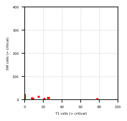 | ||||
| T11Mx |  | |||||
| T11Sz,R1.6Sz |  |
| ||||
| Show monthly chart | ||||||
2025/07/06-13:01 |
 |
 |
|
| T01 | SW03 | T01 - T02 | Google Maps |
Nasu (014) | (Lat.,Long) = (37.12 , 139.97) Height= 1917 (m) | Last Update : 2025/07/06-13:01 | ||||
| R1.6Mx show textdata |  |  | ||||
| T11Mx |  | |||||
| T11Sz,R1.6Sz |  |
| ||||
| Show monthly chart | ||||||
2025/07/06-13:01 |
 |
 |
|
| T01 | SW03 | T01 - T02 | Google Maps |
Niigata-Yakeyama (015) | (Lat.,Long) = (36.92 , 138.03) Height= 2400 (m) | Last Update : 2025/07/06-13:01 | ||||
| R1.6Mx show textdata |  | 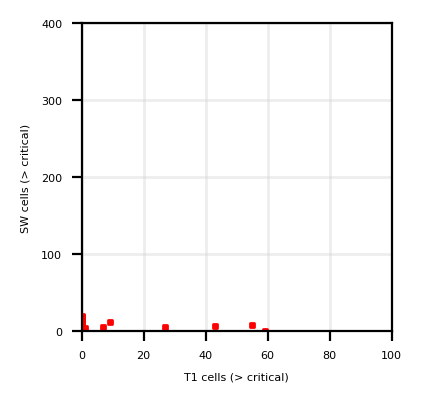 | ||||
| T11Mx |  | |||||
| T11Sz,R1.6Sz |  |
| ||||
| Show monthly chart | ||||||
2025/07/06-13:01 |
 |
 |
|
| T01 | SW03 | T01 - T02 | Google Maps |
Kusatsu-Shirane (016) | (Lat.,Long) = (36.62 , 138.55) Height= 2165 (m) | Last Update : 2025/07/06-13:01 | ||||
| R1.6Mx show textdata | 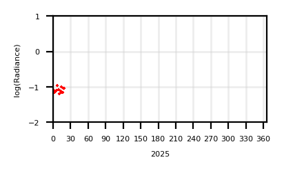 |  | ||||
| T11Mx | 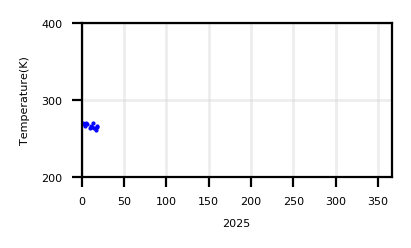 | |||||
| T11Sz,R1.6Sz |  |
| ||||
| Show monthly chart | ||||||
2025/07/06-13:01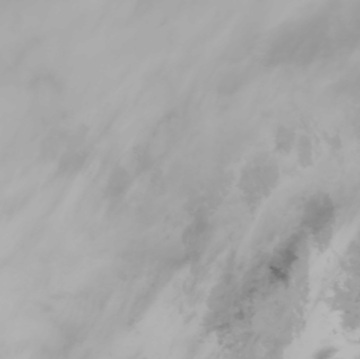 |
 |
 |
|
| T01 | SW03 | T01 - T02 | Google Maps |
Asama (017) | (Lat.,Long) = (36.4 , 138.53) Height= 2568 (m) | Last Update : 2025/07/06-13:01 | ||||
| R1.6Mx show textdata |  | 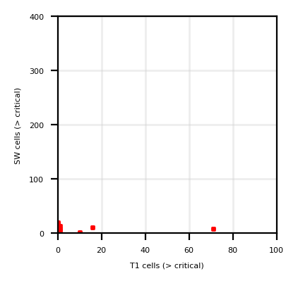 | ||||
| T11Mx |  | |||||
| T11Sz,R1.6Sz |  |
| ||||
| Show monthly chart | ||||||
2025/07/06-13:01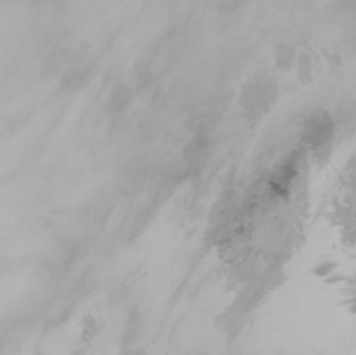 |
 |
 |
|
| T01 | SW03 | T01 - T02 | Google Maps |
Yakedake (018) | (Lat.,Long) = (36.22 , 137.58) Height= 2455 (m) | Last Update : 2025/07/06-13:01 | ||||
| R1.6Mx show textdata |  | 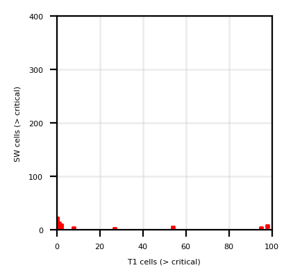 | ||||
| T11Mx |  | |||||
| T11Sz,R1.6Sz |  |
| ||||
| Show monthly chart | ||||||
2025/07/06-13:01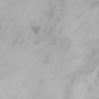 |
 |
 |
|
| T01 | SW03 | T01 - T02 | Google Maps |
Ontake (019) | (Lat.,Long) = (35.9 , 137.48) Height= 3063 (m) | Last Update : 2025/07/06-13:01 | ||||
| R1.6Mx show textdata |  | 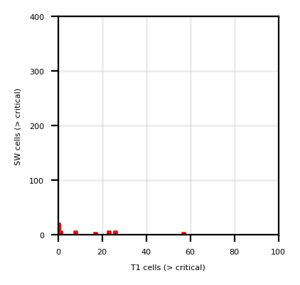 | ||||
| T11Mx |  | |||||
| T11Sz,R1.6Sz | 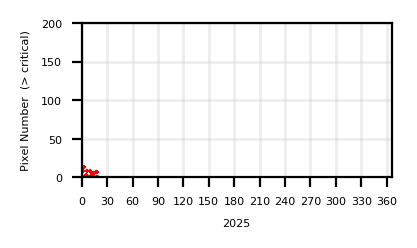 |
| ||||
| Show monthly chart | ||||||
2025/07/06-13:01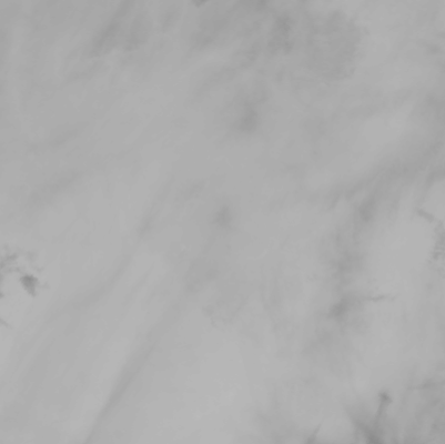 |
 |
 |
|
| T01 | SW03 | T01 - T02 | Google Maps |
Fuji (020) | (Lat.,Long) = (35.35 , 138.73) Height= 3776 (m) | Last Update : 2025/07/06-13:01 | ||||
| R1.6Mx show textdata |  | 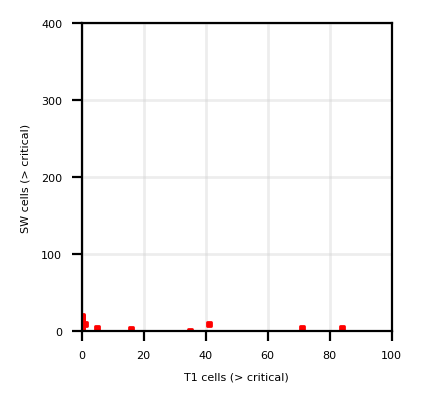 | ||||
| T11Mx | 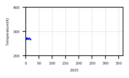 | |||||
| T11Sz,R1.6Sz |  |
| ||||
| Show monthly chart | ||||||
2025/07/06-13:01 |
 |
 |
|
| T01 | SW03 | T01 - T02 | Google Maps |
Izu-Oshima (021) | (Lat.,Long) = (34.73 , 139.38) Height= 764 (m) | Last Update : 2025/07/06-13:01 | ||||
| R1.6Mx show textdata |  | 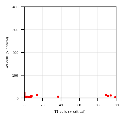 | ||||
| T11Mx | 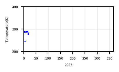 | |||||
| T11Sz,R1.6Sz |  |
| ||||
| Show monthly chart | ||||||
2025/07/06-13:01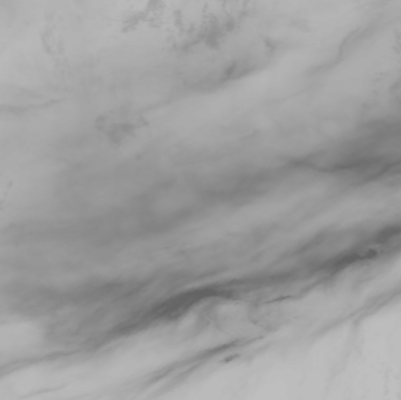 |
 |
 |
|
| T01 | SW03 | T01 - T02 | Google Maps |
Miyake-Jima (022) | (Lat.,Long) = (34.08 , 139.53) Height= 814 (m) | Last Update : 2025/07/06-13:01 | ||||
| R1.6Mx show textdata |  | 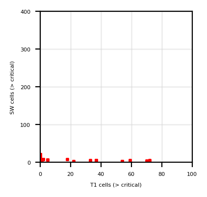 | ||||
| T11Mx | 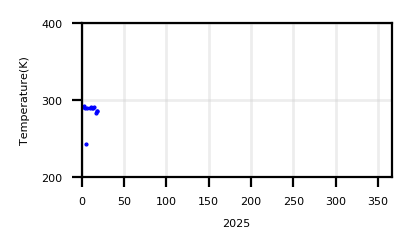 | |||||
| T11Sz,R1.6Sz |  |
| ||||
| Show monthly chart | ||||||
2025/07/06-13:01 |
 |
 |
|
| T01 | SW03 | T01 - T02 | Google Maps |
Hakone (031) | (Lat.,Long) = (35.2333 , 139.021) Height= 1437 (m) | Last Update : 2025/07/06-13:01 | ||||
| R1.6Mx show textdata |  | 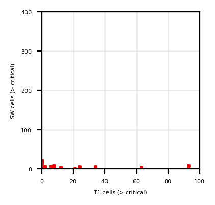 | ||||
| T11Mx | 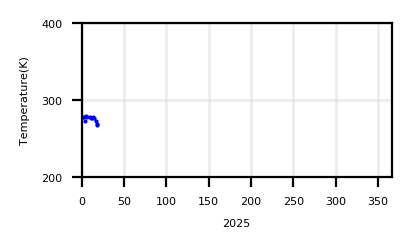 | |||||
| T11Sz,R1.6Sz |  |
| ||||
| Show monthly chart | ||||||
2025/07/06-13:01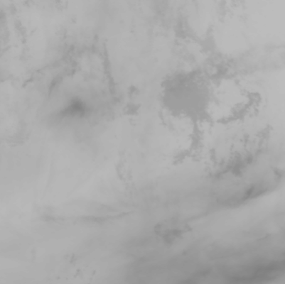 |
 |
 |
|
| T01 | SW03 | T01 - T02 | Google Maps |