 |
Realvolc Home | GMS 地域選択 |
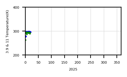
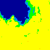
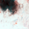
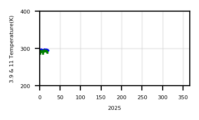
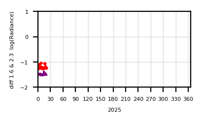
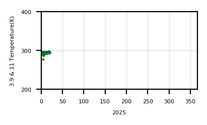
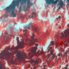
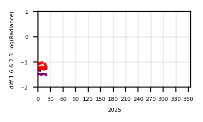
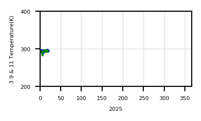
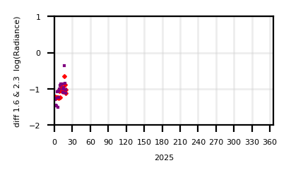
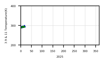
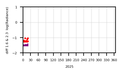
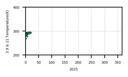
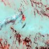
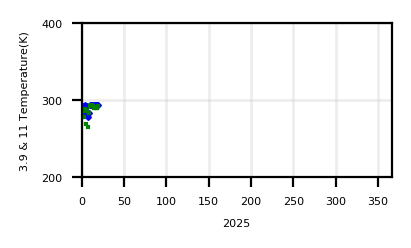
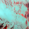
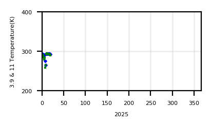
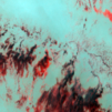
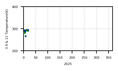
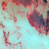
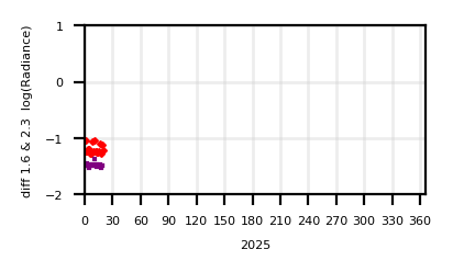
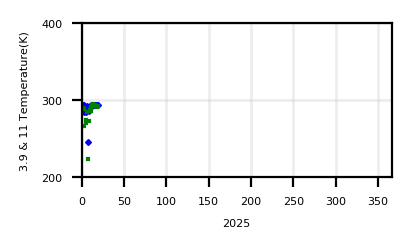
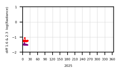
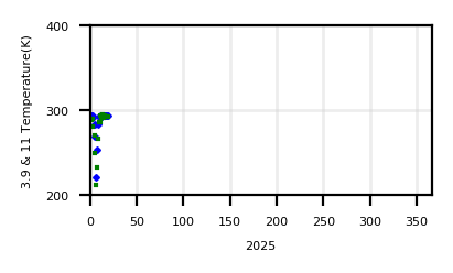
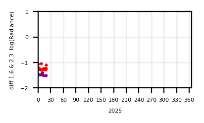
South West Pacific | UPDATE: 2025-07-07 08:29:57 (JST, +9h UTC) |
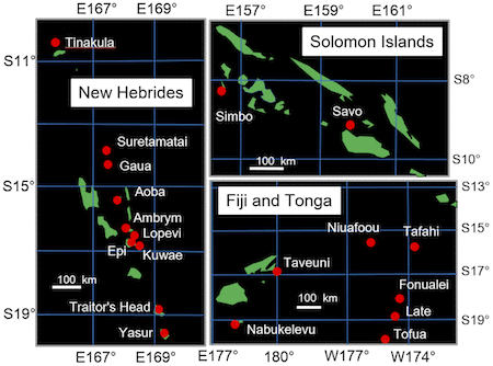 | [ Savo ][ Simbo ][ Tinakula ][ Ambrym ][ Aoba ][ Epi ][ Gaua ][ Kuwae ][ Lopevi ][ Suretamatai ][ Traitor's Head ][ Yasur ][ Nabukelevu ][ Taveuni ][ Fonualei ][ Late ][ Niuafoou ][ Tafahi ][ Tofua ] |


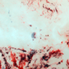
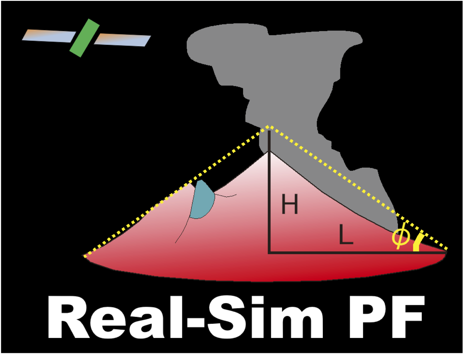 Go Energy_Cone
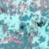